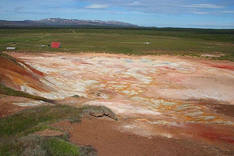
The geothermal area is on the southern part of Reykjaheiði between Lambafjöll in the west and Þeistareykjabunga in the east, for a large part on flat land at about 300 m height. Surface heat reaches, however, to 530 m height in Bæjarfjall and almost 500 m height in Ketilfjall. The immediate surroundings of the geothermal area are covered by lavas that have mainly flowed in the present. Active geothermal heat is over an area of about 11 km2, and the most active area is around the northern part of Bæjarfjall. In addition there is an altered area east of Lambafjöll.
The surface signs of geothermal heat at Þeistareykir are typical of a high-temperature area. There one can find bubbling mud pots, steam vents, sulphur mounds and alteration. There are no water springs.
Source: Halldór Ármannsson, ÍSOR.