Iceland GeoSurvey
Established 1945
Geoscience for a sustainable future
We research Iceland's geothermal systems, geology, and natural resources — and share that knowledge with government, energy companies, the scientific community, and the public.
Research areas
Expertise that reaches from the surface to the deep
From geothermal reservoirs and drilling to natural hazards and environmental studies.
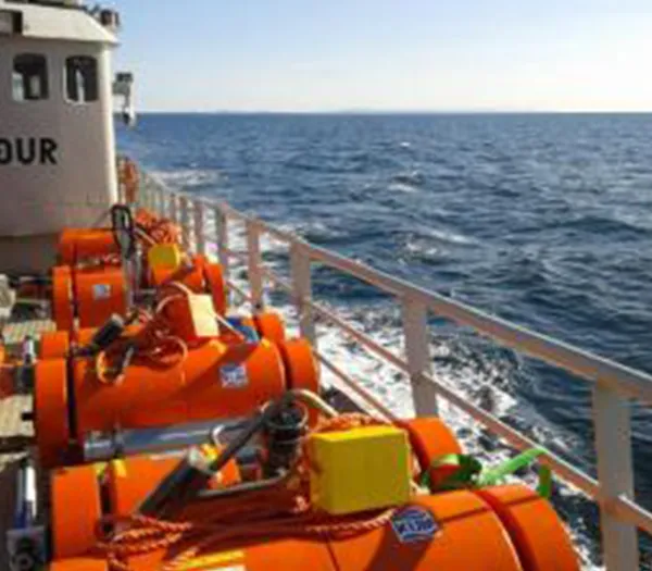
Seafloor research
Knowledge of the geology and environment of the seafloor underpins the sensible use of the resources found there.
Learn more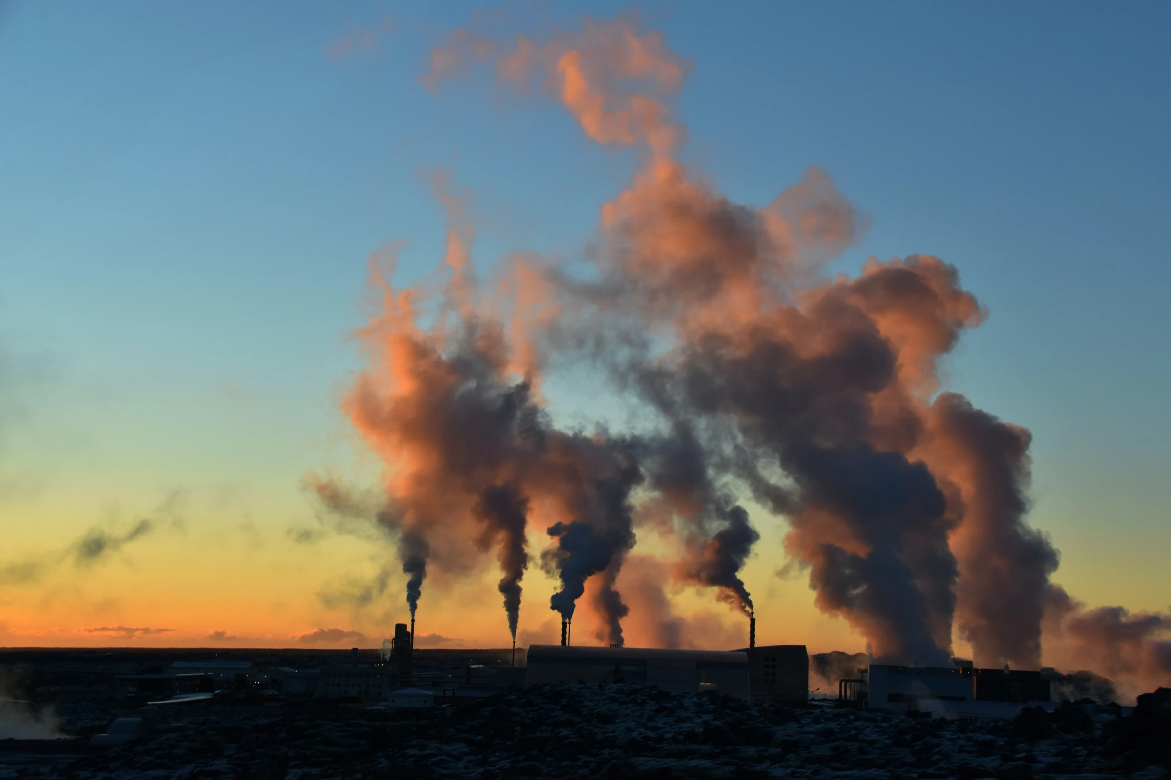
Reservoir assessment & production management
ÍSOR has decades of experience assessing the energy reserves of geothermal fields, in low- and high-temperature systems in Iceland and abroad.
Learn more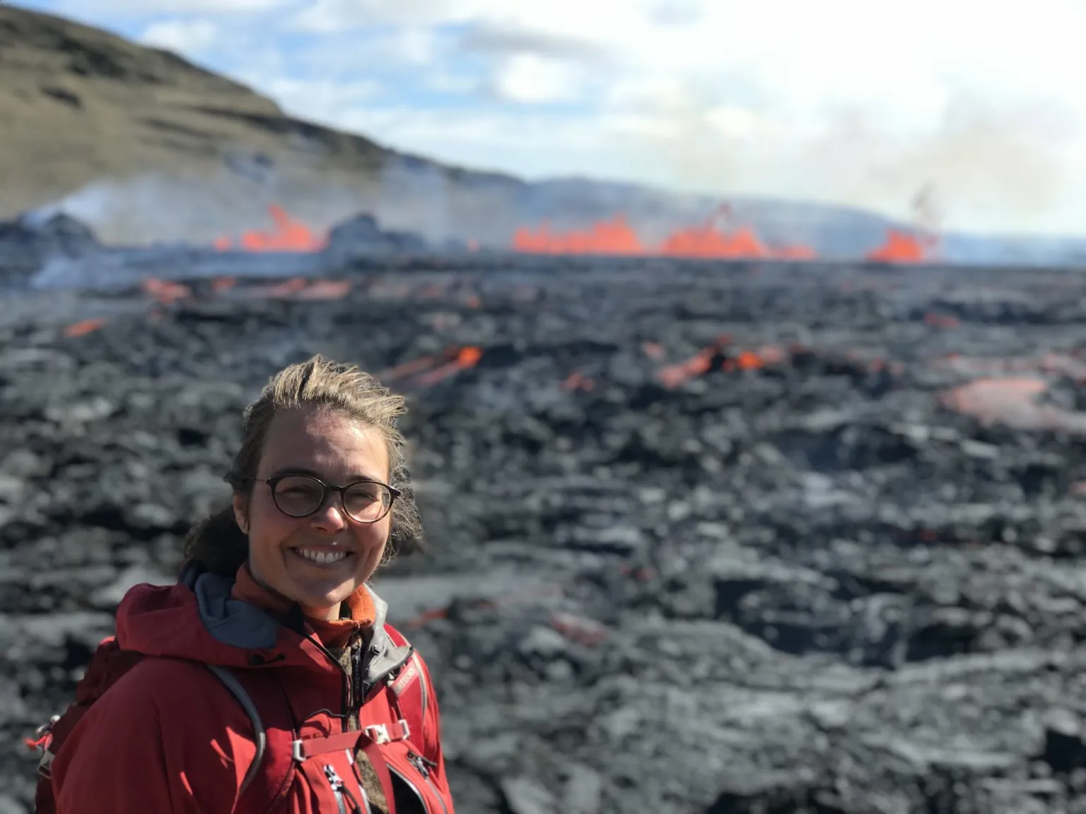
Environmental monitoring
Environmental impact assessment is integral to every geothermal project, from the first plans to the building of a power plant.
Learn more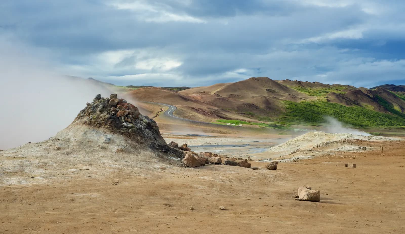
Engineering geology
ÍSOR has extensive experience in geoscientific surveys for the preparation and design of roads and tunnels.
Learn more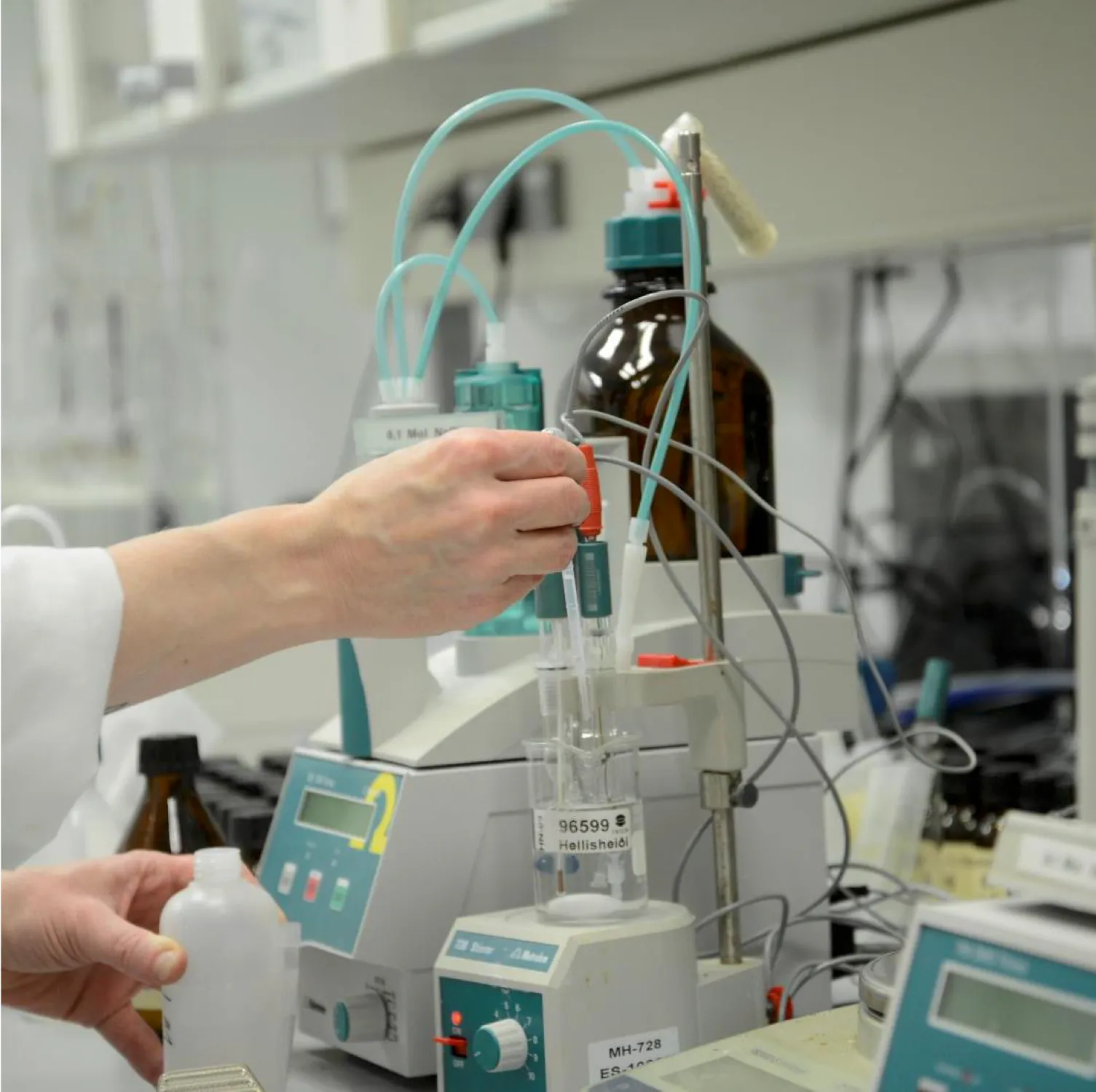
Chemical analyses
Sampling and chemical analysis of water, gas and minerals are the core of ÍSOR's geochemical services, performed to international standards.
Learn more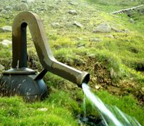
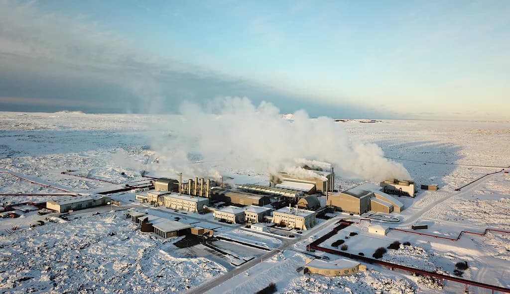
District-heating production monitoring
Monitoring the output and performance of district-heating systems safeguards the sustainable, long-term operation of geothermal systems.
Learn moreGeothermal resource assessment
Assessing the size and capacity of geothermal fields is the foundation for decisions on production and power-plant development.
Learn more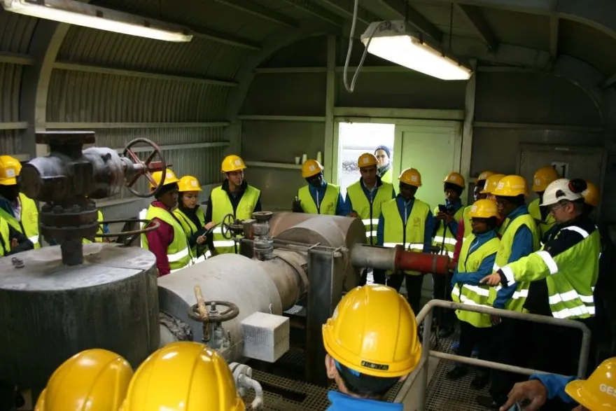
Teaching & training
ÍSOR's specialists have for years taught and trained at the Geothermal Training Programme (GRÓ GTP), sharing knowledge worldwide.
Learn more
Groundwater research
Water protection and sustainable use of the water resource is a demand of our time, and ÍSOR holds specialist expertise in this field.
Learn more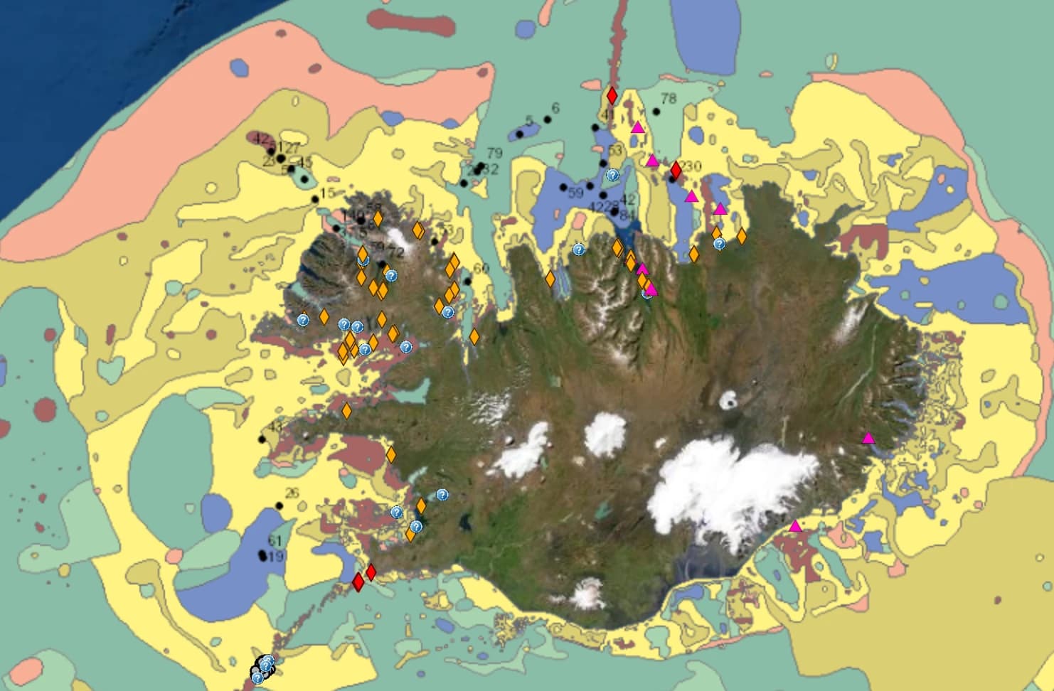
Continental shelf affairs
ÍSOR provides scientific advice to the authorities on delimiting Iceland's continental shelf — research, data collection and interpretation.
Learn more
Borehole logging
Testing and assessing well output calls for a range of downhole measurements that reveal the characteristics and capacity of each well, and the properties of the geothermal system itself.
Learn more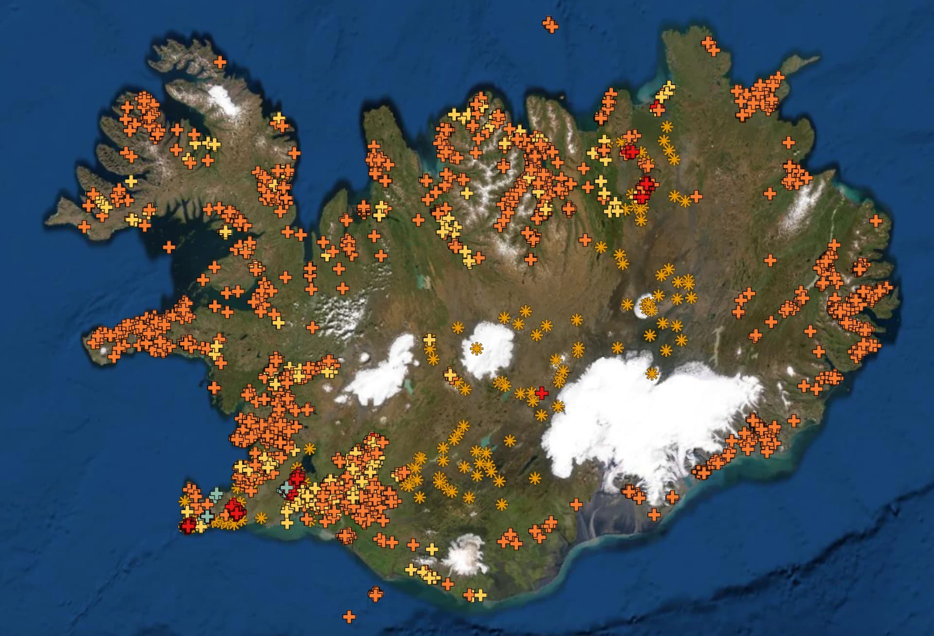
Geological mapping
ÍSOR specialises in producing geological maps of both land and seabed, and has mapped the geology of Iceland for decades.
Learn more
Carbon storage
ÍSOR offers specialist carbon-storage services — mapping likely storage sites, siting injection wells and monitoring the injection of CO₂ and H₂S, building on the Carbfix method.
Learn moreSurface exploration
Geological, geochemical and geophysical surface surveys play a key role in geothermal exploration and in building conceptual models of geothermal systems.
Learn moreLatest
News & articles
Research
ÍSOR maps fractures and dykes at Patreksfjörður using a drone
ÍSOR staff carried out drone magnetic surveys at Patreksfjörður to get a clearer picture of the dykes and fractures in the area.
26 May 2026 · Ritstjórn ÍSOR · 3 min read
Events
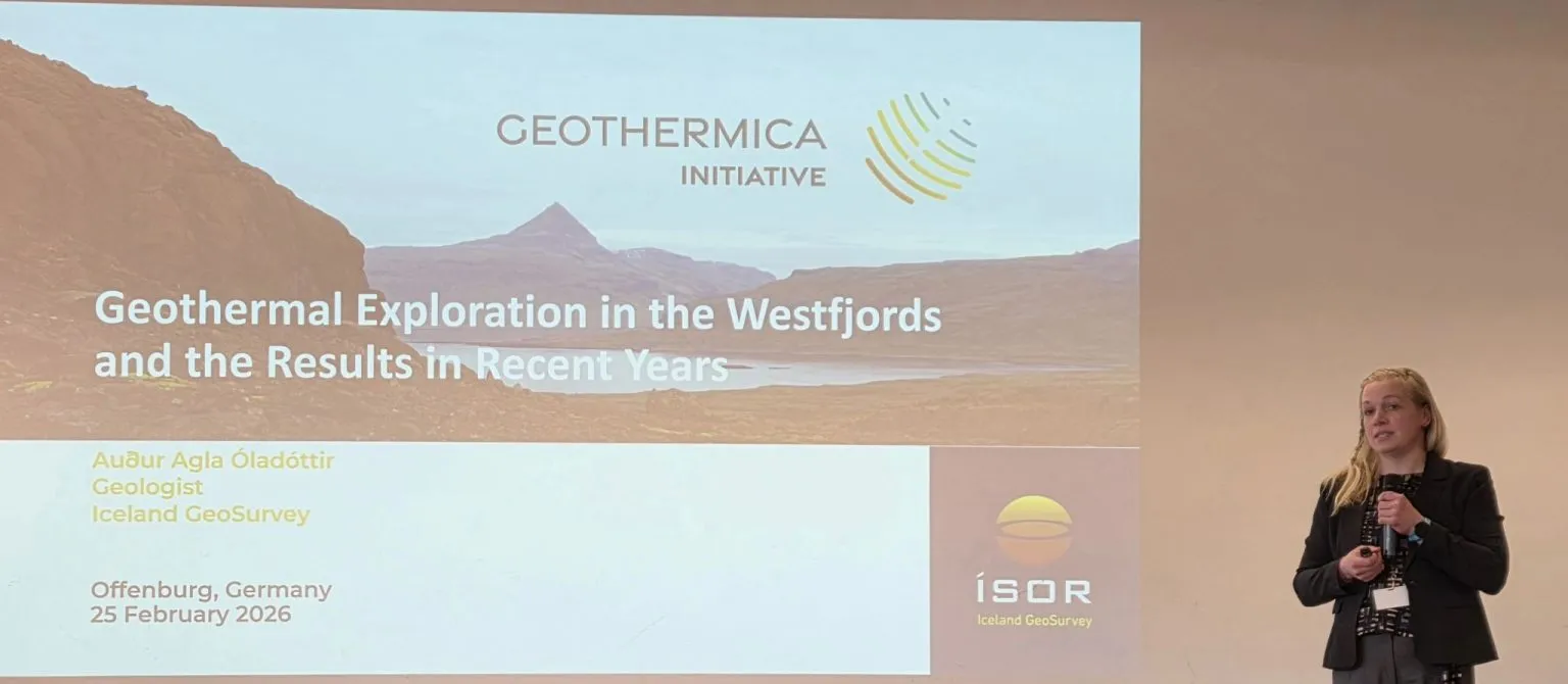
ÍSOR at the GeoTHERM expo & congress in Offenburg, focused on low-temperature geothermal
Geologists Auður Agla Óladóttir and Sveinborg Hlíf Gunnarsdóttir represented ÍSOR at the GeoTHERM congress in Offenburg, Germany.
5 March 2026 · Ritstjórn ÍSOR · 3 min read
News
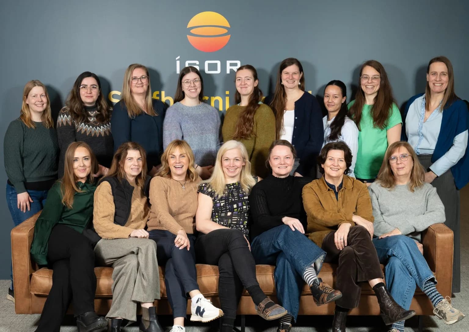
International Day of Women in Science – 11 February 2026
To mark the day, ÍSOR highlights the women at the institute who play a key role in its research.
11 February 2026 · Ritstjórn ÍSOR · 3 min read
Project spotlight
COMPASS – casing & cementing of deep wells
Developing and testing casing and cementing methods that withstand the extreme conditions of high-temperature wells, including the IDDP-3 deep-drilling project.
View the project
Map viewers
Explore ÍSOR's web viewers
Interactive maps of Iceland's geology, geothermal resources, and seafloor.
Newsletter
Follow our research
Get the latest news, publications, and events straight to your inbox.