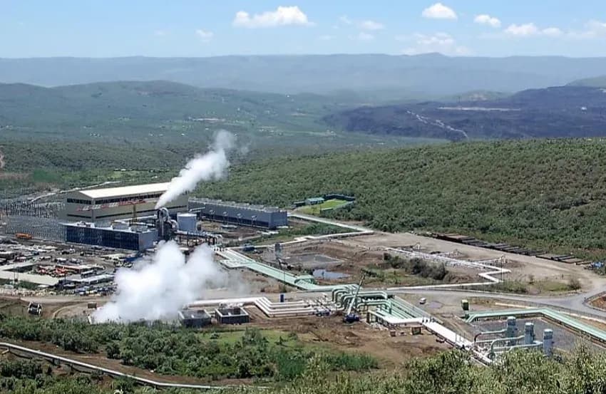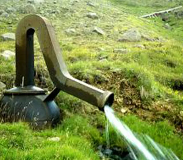

ÍSOR carries out a wide range of research related to geothermal energy, covering both high- and low-temperature systems. This includes geological, geophysical and geochemical studies.
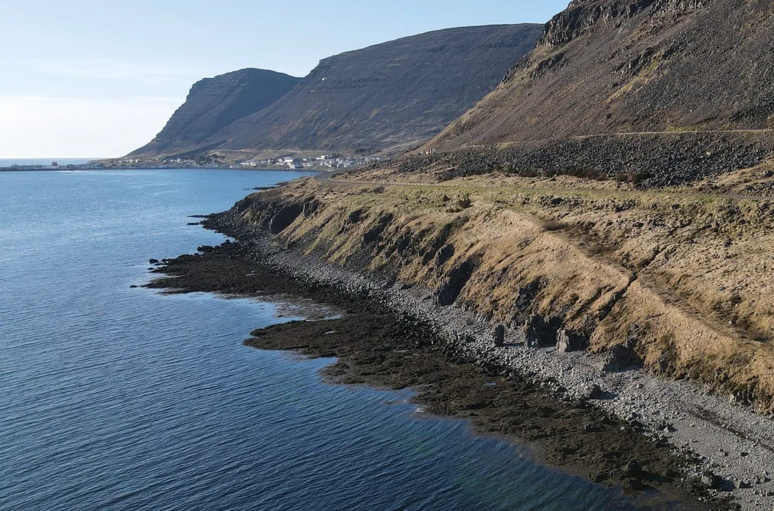
Geological, geochemical and geophysical surface exploration plays a very important role, not least in the search for geothermal resources.
Geological studies are concerned with mapping faults and fissures that affect the flow of geothermal fluid and steam within the geothermal reservoir and towards the surface of the earth, where the fluid is easiest to reach. Geological studies are also concerned with understanding the geological history of formations, their age and possible geological hazards, among them those arising from volcanic activity.
The chemical composition of geothermal steam and geothermal fluid, collected from natural steam vents and springs, gives the first indications of the source temperature of the geothermal fluid and of its chemical composition within the reservoir, which in turn can affect the possible and sustainable use of the resource.
As part of a geophysical survey, various physical parameters are measured, such as the resistivity, density, seismic velocity and magnetism of the rock below the surface, which in turn gives an idea of the make-up of the crust, its structure, and the size, thickness and depth of the geothermal reservoir.
Joint interpretation of the data and results from the studies above is used to compile the first conceptual model of the area under investigation. Multidisciplinary processing of the data is the key to assessing whether a usable geothermal resource is present, and to siting the first exploration wells, both to confirm the results of the surface exploration and to underpin the continued development of the geothermal field with the sustainable use of the resource in mind.
Geological studies at ÍSOR consist of general geological mapping of Iceland at different scales, covering bedrock mapping, structural mapping and more. Such studies are also carried out at a smaller scale within the geothermal fields themselves, in order to understand the make-up of the field and its history, and to map conduits and structures connected with surface activity.
- Geological mapping
- Bedrock mapping
- Structural mapping
- Mapping of geothermal alteration
- Geohazard mapping
- Mapping of landslides and rock avalanches
Geochemical studies at ÍSOR provide important information about the temperature of the geothermal reservoir. A temperature-sensitive equilibrium between the geothermal water and the secondary minerals in the reservoir governs the composition of the geothermal steam and fluid found at the surface.
The chemical composition of geothermal steam and water also gives first indications of production characteristics with regard to scaling and corrosion problems, and of the possible environmental effects of using the fluid. Various components of the geothermal fluid, such as stable isotopes, give information about its origin.
Gas flux through the soil can provide important information about the location of open and permeable fissures below the surface of the earth, and the results can be used, among other things, to site boreholes.
- Specialised sampling for the analysis of geothermal fluid and gas
- Groundwater sampling
- Environmental and pollution monitoring, including in connection with drilling and geothermal utilisation
- Measurement of gas flux through the soil
- Chemical analysis of samples in ÍSOR's chemistry laboratory
Geophysical studies at ÍSOR provide important information about the physical properties of geothermal systems, such as the possible size, thickness and type of the system. Of the geophysical measurements made in connection with the search for geothermal resources, particularly in high-temperature areas, resistivity surveys are among the most important.
Temperature-dependent alteration forms through the interaction of water and rock, and secondary minerals form in fissures and cavities in the rock, along with changes in the chemical composition of the rock itself. This can lead to very marked resistivity changes within the bedrock, which can be used to map the size and shape of the resource.
Monitoring and locating microearthquakes gives information about fault movement and possible permeability, as well as heat extraction from heat sources, and information about seismic velocity anomalies that may indicate intrusions.
Gravity surveys can give information about density changes of the kind often seen in connection with intrusions, or displacement associated with large faults.
Magnetic surveys can likewise be used to find intrusions and to give information about demagnetisation caused by high-temperature alteration.
- Resistivity surveys, both TEM (Transient ElectroMagnetic measurements) and MT (MagnetoTelluric)
- Microearthquake surveys
- Gravity surveys
- Magnetic surveys (on foot and by drone)
- Ground-penetrating radar surveys, useful for investigating shallow strata without digging or drilling
- Elevation measurements and changes, using GPS and InSAR
- Shallow seismic surveying, widely used in geotechnical engineering, for example in tunnelling
- Processing of active seismic surveying