Research
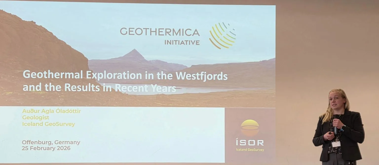
ÍSOR maps fractures and dykes at Patreksfjörður using a drone
Ritstjórn ÍSOR · 26 May 2026 · 3 min read
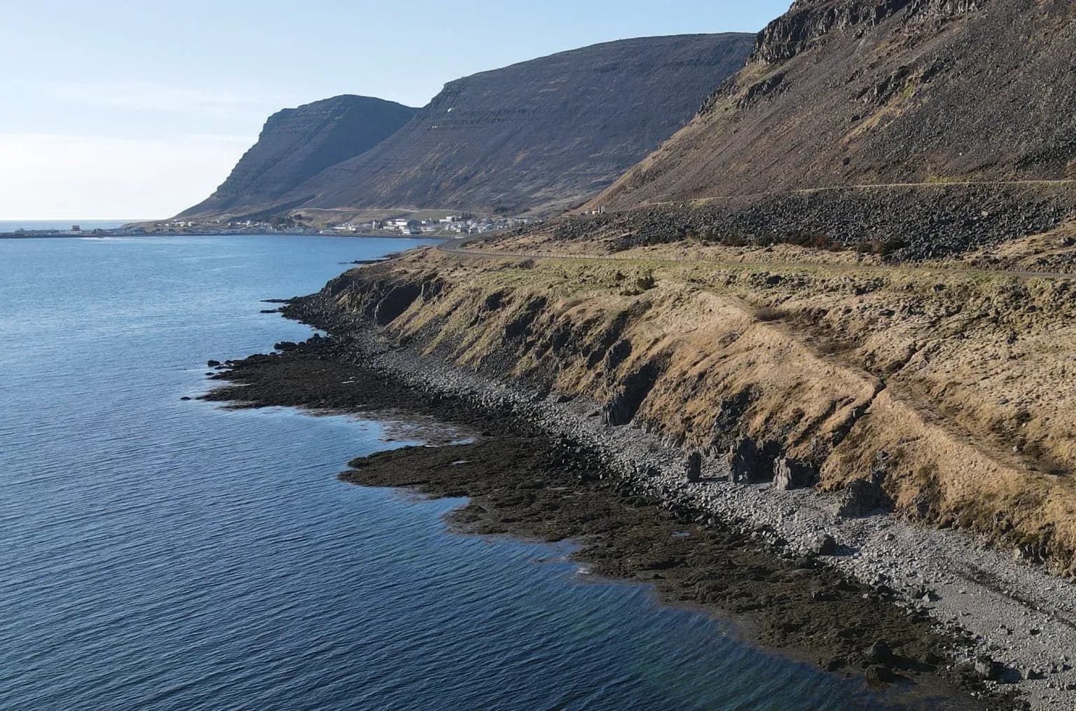
ÍSOR staff carried out drone magnetic surveys at Patreksfjörður to get a clearer picture of the dykes and fractures in the area.
The body of the article — subheadings, images, quotes, and tables — appears here. Content is managed through the ÍSOR CMS.
Ritstjórn ÍSOR
Author · ÍSOR