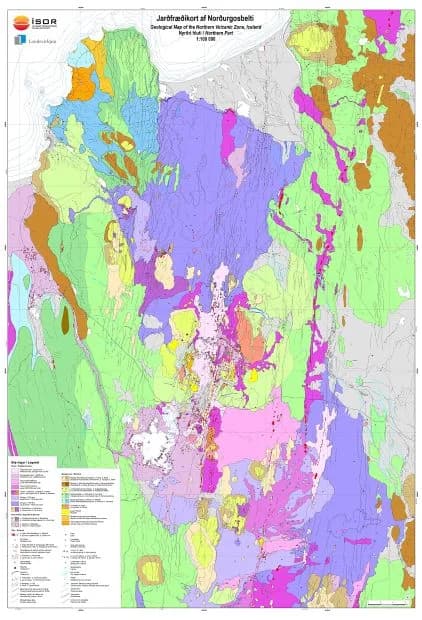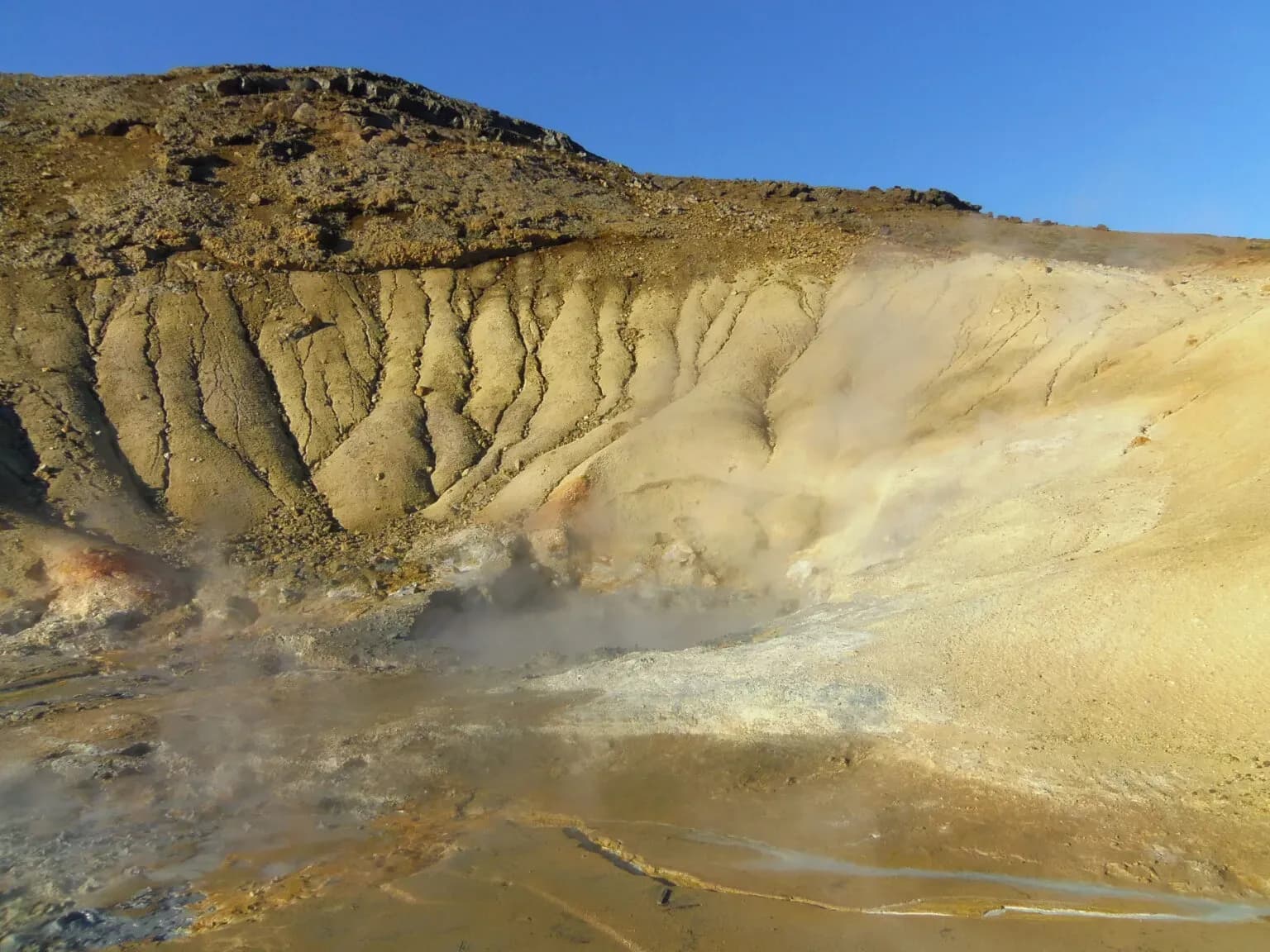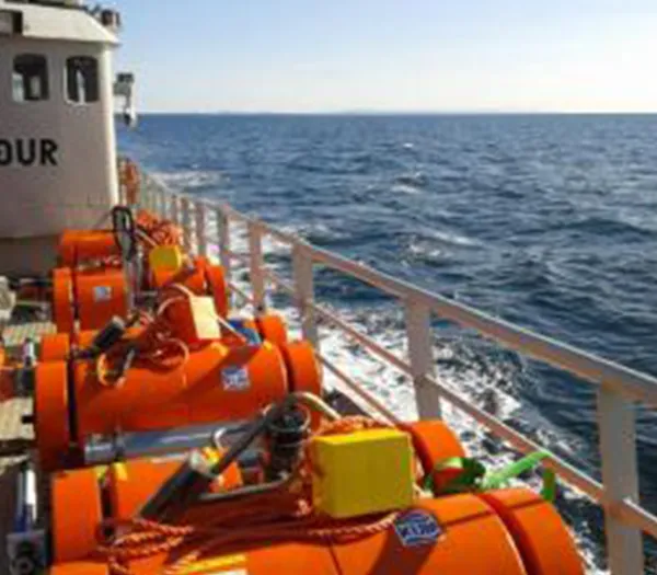

ÍSOR specialises in producing geological maps of many kinds, covering both the land and the seabed. For decades ÍSOR's specialists and their predecessors have worked to map the geology of Iceland and to present that information on maps of various types.
The main types of geological map
- Bedrock maps
- Surficial geology maps
- Hydrological maps
- Tectonic maps
- Geothermal maps
- Resource maps
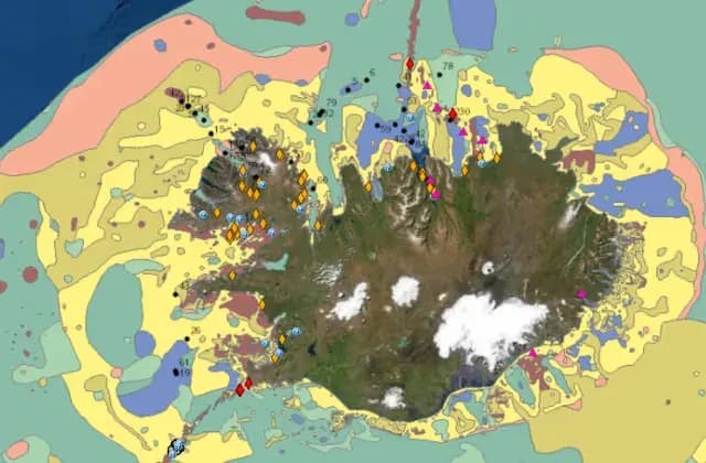
- Seabed substrate maps
- Seabed geohazard maps
- Seabed geomorphology maps
What geological maps are used for
- They are the foundation of environmental assessment, land use and planning in towns, rural areas and the uninhabited interior.
- They are essential for the use of the country's resources, such as energy sources, drinking water and construction materials.
- They are one of the prerequisites for organised and purposeful nature conservation.
- They guard against environmental accidents of various kinds, such as the contamination of water sources and the wasteful use of construction materials.
- They are indispensable in assessing the hazard posed by volcanic eruptions, landslides, floods and earthquakes.
- They are the basis for special maps at larger scales and for overview maps of various kinds.
- They are a mine of information for anyone wishing to learn about the country and its nature.
- They are inexpensive compared with the benefit to be had from them. In many cases they make it possible to reduce costly research substantially.
Quality requirements
ÍSOR employs a number of geologists who have worked on geological mapping of the country for many years. Alongside them, geographers and a cartographer take part in producing geological maps. We are committed to providing our clients with dependable, professional service. The mapping is done in the ArcGIS geographic information system from ESRI. The work follows mapping standards that are under constant review and development.
Recently published geological maps
- Bedrock map of Iceland 1:600,000
- Geological map of Central Iceland 1:100,000
- Geological map of the Eastern Volcanic Zone. Tungnaáröræfi 1:100,000
- Glacier map of Iceland (published by the Icelandic Met Office)
- Geological map of the Northern Volcanic Zone: northern part 1:100,000
- Geological map of the Northern Volcanic Zone: southern part. Ódáðahraun 1:100,000
- Geological map of Southwest Iceland 1:100,000